Utility Mapping & Solutions
We continue to deliver value to our customers across Water and Wastewater, Electric, Gas, Energy and Municipalities around the world. Magnasoft has designed innovative solutions for Water and Wastewater, Electric and Gas management.
- Workflow and Process models
- Data models
- Location, Landbase and Infrastructure Data
- Output Products
- Physical Architecture
GeoNest helps large gas utilities in addressing, monitoring and managing gas pipelines, and outlets, in times of emergency and calamities. GeoNest’s GIS based services for water utility industry ensure that utilities have efficient design maps, outage and distribution management, database planning, and installations management.
GeoNest’s services and solutions provide Water and Wastewater, Electric, Gas, and Energy companies the ability to reduce their cost of operations and maintenance of assets, and improve operational efficiency through:
- Utility mapping for management of assets
- UAV data processing for accurate feature extraction and 3D data modeling
- Thematic map development and map digitization
- LiDAR data processing for terrain analysis
- Custom application development and testing to automate various business processes
- CAD conversion to maintain GIS data in digital format
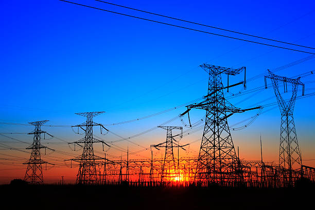
GeoNest’s supports the electric utilities by helping them with the data and insights for designing, drafting, and planning of electricity supply lines within a township or from a power station. Our services include:
- Network Mapping
- Transmission Line Mapping
- Thermal Rating Analysis
- Transmission Line Engineering
- New Route Survey
- Danger Tree, Vegetation Study and Encroachment study
- Network Re-Alignment
- AM/FM Mapping
- Power Corridor Mapping
- Network Topology
- Spatial Analysis
- Network Analysis
With a unique combination of technical experts, strong industry knowledge, and global delivery capabilities, GeoNest’s is the most preferred partner for utility solutions, as it provides.
- Flexible, Open, and Powerful Utility Solutions
- Leading-edge Technology Solutions
- Better services due to in-depth understanding of Business and Technical issues